 |
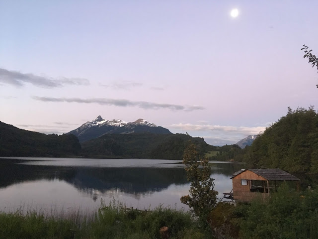
| Dusk from our hostel outside of Futa |
After leaving Lago Posadas, Argentina we drove across the border into Chile at Paso Roballos, the smallest crossing we have gone through to date. On the Argentine side, it was a small little house in a gorgeous valley where we filled out some paperwork (some in pencil), got some stamps and drove on to Chile. At the Chilean side it was a bit more developed (read: larger house structure). We knew we were heading straight from the border to Parque Patagonia where we would camp for a few days and there would be no possibility of restocking on produce so we thought to ask for some leniency and luckily we were allowed to bring in our little cabbage, onions and some garlic. Given the honey incident a few weeks earlier we were pretty pumped!
 |
| Argentine side of the Chacabuco Valley |
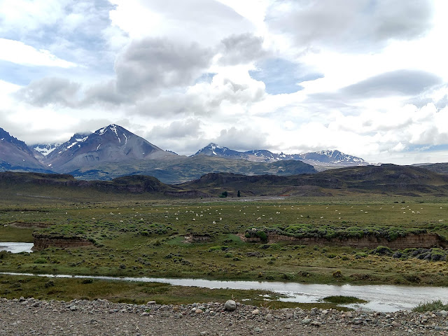 |
| Sheep everywhere |
 |
| Up close and personal (and in need of a haircut) |
Border crossing behind us, we drove to
Parque Patagonia in the stunning Chacabuco Valley. This brand new park used to be a large estancia/farm for animals and the Doug Tompkins foundation (former founder of North Face and Esprit) purchased the land in the early 2000s, started major work to rehabilitate it back to its original state and eventually will turn it over to CONAF. The
campsite we stayed in was one of the fanciest to date with the main differences being in the little details (the communal sink was a massive copper sink, the gazebos at each campsite had a base of beautiful stone, etc.). We basically had the campsite to ourselves and while A had to do some work, it was definitely the most beautiful office either of us have seen. We particularly enjoyed the Tompkins Lookout where we sat all alone and felt, for probably the first time in Patagonia, just how large and expansive the nature around us is and how utterly small we are. It was wonderful!
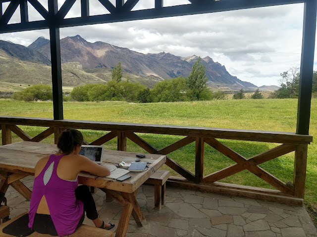 |
| If you have to work while traveling... |
 |
| Tompkins lookout |
 |
| Contemplating |
 |
| Frolicking |
After leaving our campsite, we drove to some other outposts of the park stopping to admire the views and infrastructure. We even thought about staying in the hotel that they have, however it was ~$500 USD a night and we quickly went back to our dirt mobile and tent. This is not the first very expensive hotel we have inquired about staying in and one of the funny things we have found is that right after they tell you the room rate they, without fail, mention that breakfast is included. At that price is the free breakfast really swinging anyone's decisions?!?! Though we are very intrigued to what a $500+ per night hotel breakfast is like...
 |
| On the valley floor in Parque Patagonia |
From Parque Patagonia, we finally hit Chile's most famous highway, the Carretera Austral, we would equate it to California's Pacific Coast Highway, or any other famous highway for its stunning drive through the nature. It is somewhat hard to describe in words, so hopefully the pictures will speak for themselves. Overall the Chilean side of Patagonia is much more lush and green as compared to Argentina because the weather patterns move west to east and the Andes mountains prevent most of the moisture from passing over into Argentina.
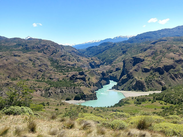 |
| Along the Carretera Austral just north of Cochrane |
Once on the Carretera Austral, we drove south to Cochrane where it just so happened a
rodeo was taking place over the weekend. Different regions within Patagonia have different gaucho (cowboy) culture, but what we saw included traditional dress (men and women), food (Patagonian lamb), and sport (two-person horse riding where they stop a bull within the rink). The event space is called a medialuna (half moon) because of its shape.
 |
| Gauchos in traditional attire (photo credit: Cochrane Municipality) |
 |
| The rodeo sport, two riders attempt to pin the bull (photo credit: Cochrane Municipality) |
 |
| Traditional Patagonian Barbecue for the Rodeo |
 |
| Post-picnic reading on Lago Cochrane |
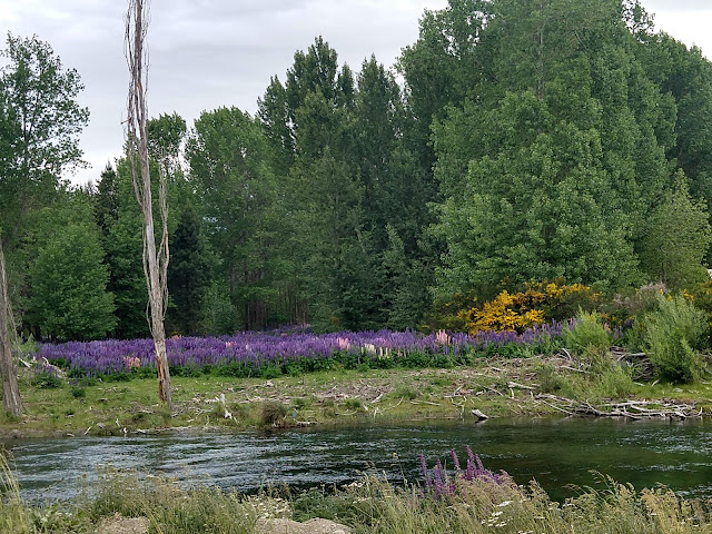 |
| Stunning springtime blooms followed us wherever we went |
We stayed for a few days before heading further south to Caleta Tortel, a small
pueblito at the mouth of a fjord where the whole town is only accessible by walkways. The town was established in the 1950s for wood harvesting. During this leg of the trip the travel itself was just as amazing as the destination.
 |
| Heading down into the main parts of Caleta Tortel |
 |
| Wild flowers |
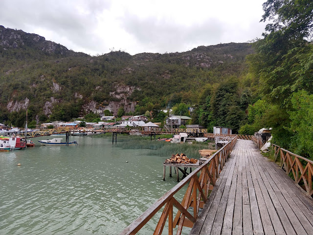 |
| The town's front yard |
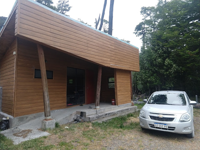 |
| Camped in this "abandoned" structure outside of Caleta Tortel |
 |
| Confluence of two rivers, or lack there of |
 |
| Trying to feed calves some salt (we heard they can't resist it, but resist it they did) |
As this highway dead-ends not to much further south in Villa O'Higgins, we turned back north from Caleta Tortel towards Puerto Rio Tranquilo over a few days before needing to pick up Yosaif in Balmaceda. We intended on returning with Yosaif back to Puerto Rio Tranquilo to visit the Marble Caves. Unfortunately, due to minor car issues and airline baggage issues, we did not make it back to Rio Tranquilo and so the marble caves remain on our list for when we come back.
 |
| It looks like some of our previous photos, but it is much further north, and it never got old |
 |
| Confluence of the Rio Baker and Cochrane |
 |
| One of the more beautiful glacial lakes, Lago General Carrera |
 |
| Each turn on the highway revealed more beautiful blooms than the previous one |
Continuing north, we made it to Coyhaique where we re-stocked on food, learned car mechanics 101 (in Spanish) and most importantly we rendezvoused with Yosaif!! As we have said in other posts, we feel so lucky to have people join us on this adventure and it really enhances our trip overall. While waiting for the car to be repaired, and for Yosaif, A did some work and Z practiced his veggie parrilla skills.
 |
| Provoleta (grilled provolone cheese with herbs) is something we are definitely bringing back with us |
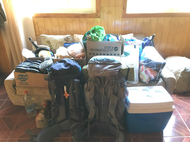 |
| All of our belongings, prepping for the arrival of Yosaif |
Some highlight with Y in the car: a small waterfall on the side of the road where there were bees (and we tasted some honey) on the way to Puerto Ayesen to see a bridge.
 |
| Welcome Yosaif!! |
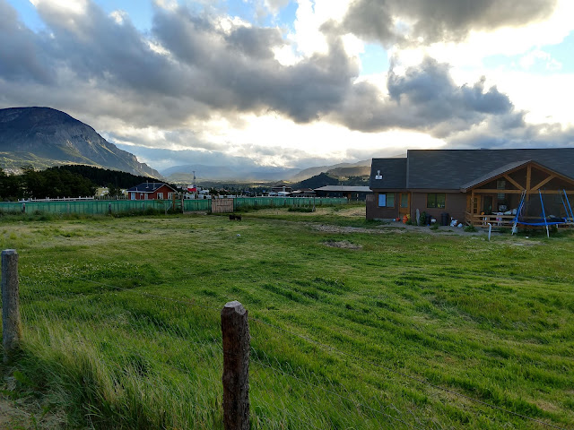 |
| View from our Cabana outside of Coyhaique |
 |
| A lovely woman has set up beehives on her families property in the Simpson Valley |
 |
| In addition to the mist from the waterfall it happened to also be raining |
 |
| Rio Simpson |
 |
| Planted with purpose |
 |
| Cascada La Virgin |
Picnic breaks along the highway looking out for dolphins (we spotted a few!).
 |
| One of our travel apps said people often spotted dolphins here, and they didn't lie |
 |
| Band album cover? |
Parque Queulat where we hiked to see the hanging glacier!
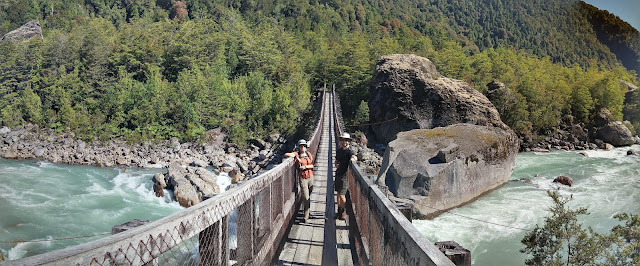 |
| The rest of the trail was super wet and muddy |
 |
| The hanging glacier! |
 |
| Springtime means glacial melt, which means flowing rivers |
Thermal baths in "El Sauce" (absolutely no idea why it is called that)
 |
| Glorious thermal pool along a stream (photo credit: turisomoenchile) |
 |
| Down to the pool (photo credit: turisomoenchile) |
 |
| Lounge area for post-bathing (photo credit: turisomoenchile) |
 |
| Proof that camping happened, in a tent! |
Going to Futaleufu (or Futa' for short as the locals call it) where we stayed at a stunning hostel on a lake with kayaks and short little walks nearby. Our host, Roger, was super friendly and always made sure we had a fire going. And, the main attraction of Futa is white water rafting along the Futaleufu River - sadly we have no pictures to capture this (no waterproof camera and our hands were a little busy paddling) but the river is filled with 12 rapids that are between grade 3-5 and you go through them rapid fire (pun not intended). The whole trip in the raft is around 2 hours but you are constantly going through MAJOR rapids and just giggling and having a great time! We lucked out with blue skies and not a cloud in sight the day we went!
 |
| A nice short hike to get a good look at Lago Lonconao (we look like siblings, right?) |
 |
| Amazing picnic spot at our hostel outside of Futa |
 |
| Kayaking siblings |
And finally, with Y we went to another Tompkins Foundation park that has been around for longer, Parque Pumalin. The amenities were still nice but no copper sinks... We went on a long day hike through the valley to the glacier. And, the following day, we went to the nearby thermals for a well deserved soak!
 |
| Entrance to Parque Patagonia's southern section |
 |
| Cheeky cascada on a cheeky hike on Parque Patagonia |
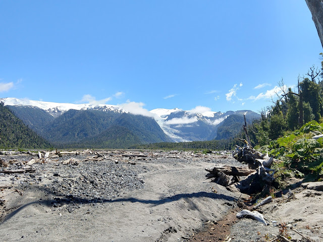 |
| Entering the Amarillo Glacier valley |
 |
| We tried to color coordinate with the glacier |
 |
| Made it to the bottom of the El Amarillo Glacier in Parque Pumalin |
 |
| The mighty Alerces (Patagonian Cypress) tree |
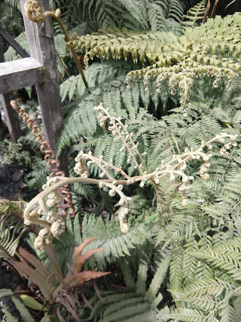 |
| Ferns are meant for the world of Dr. Seuss and Willy Wonka |
After Pumalin, we went to another small pueblito where we awaited the ferry to Chile's largest island, Chiloe....
 |
| Not our main car issue, but our back tire was leaking air...and puppies |
In total this trip was ~1300km (or 800 mi) 19 days and here is the map:


Comments
Post a Comment